24.04.2015 - 16.08.2015
For Ortelius, history and cartography went hand in hand. He regarded geography as ‘the eye of history’.
First atlas
Ortelius published the first world atlas, the Theatrum Orbis Terrarum, in 1570, but he was also the first to produce historical maps. Ortelius had a particular interest in classical antiquity and Biblical history. In his first edition of the Theatrum he had already referred to locations from antiquity, and his Parergon, a collection of historical maps, showed the history of antiquity and of the European territories from the Roman Empire.
Travels in search of history
Ortelius literally went in search of history. He travelled to Italy, for instance, a journey described in his Itinerarium per nonnullas Galliae Belgicae Partes. Closer to home, he visited places such as Tongeren, Trier and Metz. Ortelius also collected coins from Roman Imperial times.
Exhibition
Dr Dirk Imhof, curator of old prints, mounted the exhibition Abraham Ortelius, Under the Spell of Classical Antiquity for Rockox House. He mainly used items from the collection of the Museum Plantin-Moretus.
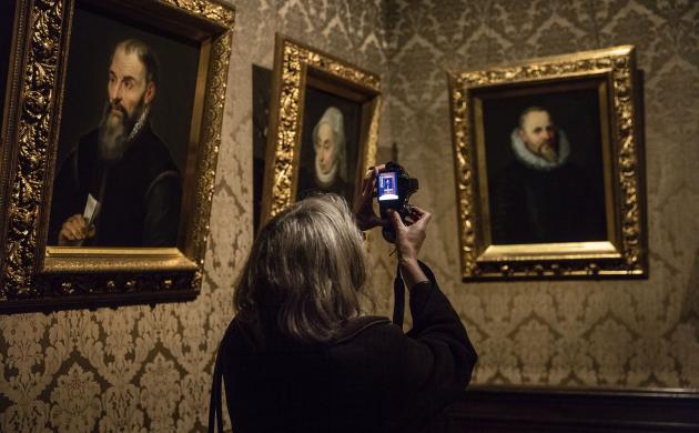
Rockox House was an appropriate choice of venue for the exhibition, because Rockox and Ortelius were friends and shared a passion for collecting coins. A portrait of Ortelius also graced Rockox’s art room.
The exhibition presented a selection of historical maps along with some of the printed works that Ortelius used to compile his maps. This enabled visitors to follow the process by which Ortelius gathered his knowledge and presented it visually on a map.


