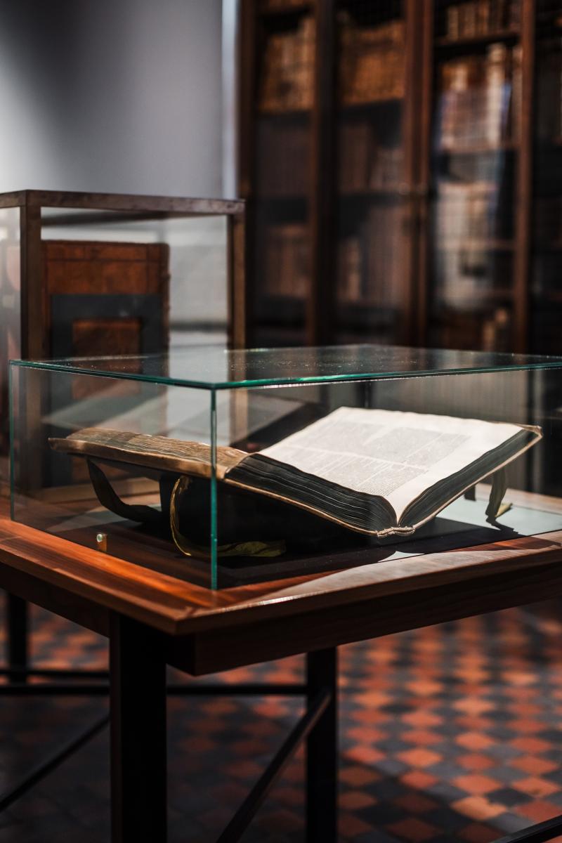
The collections
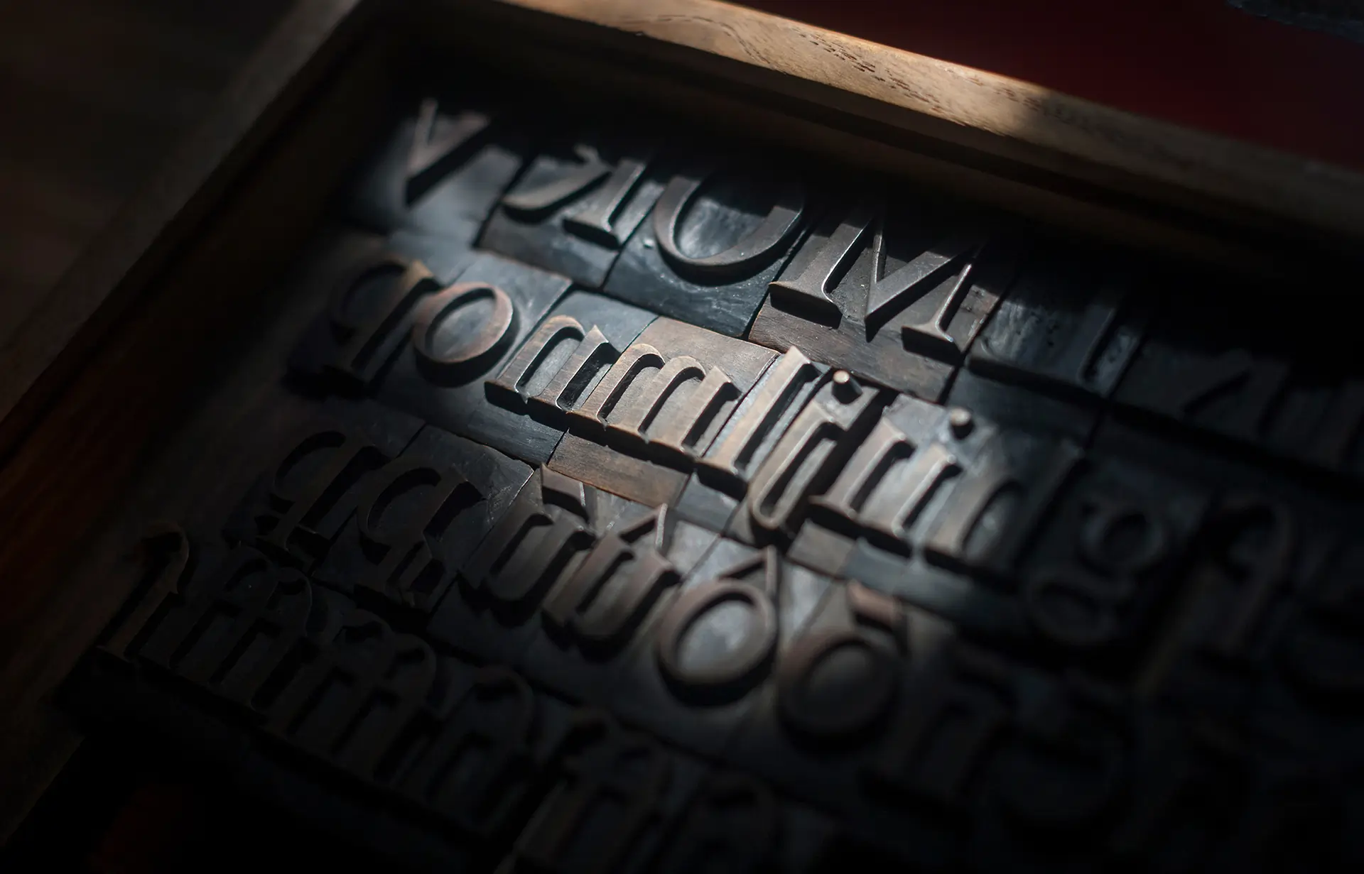
The Museum Plantin-Moretus conserves a multiple collections. Old printed books and manuscripts, printing presses and tools, paintings, prints and drawings, furniture and paintings and several archives.
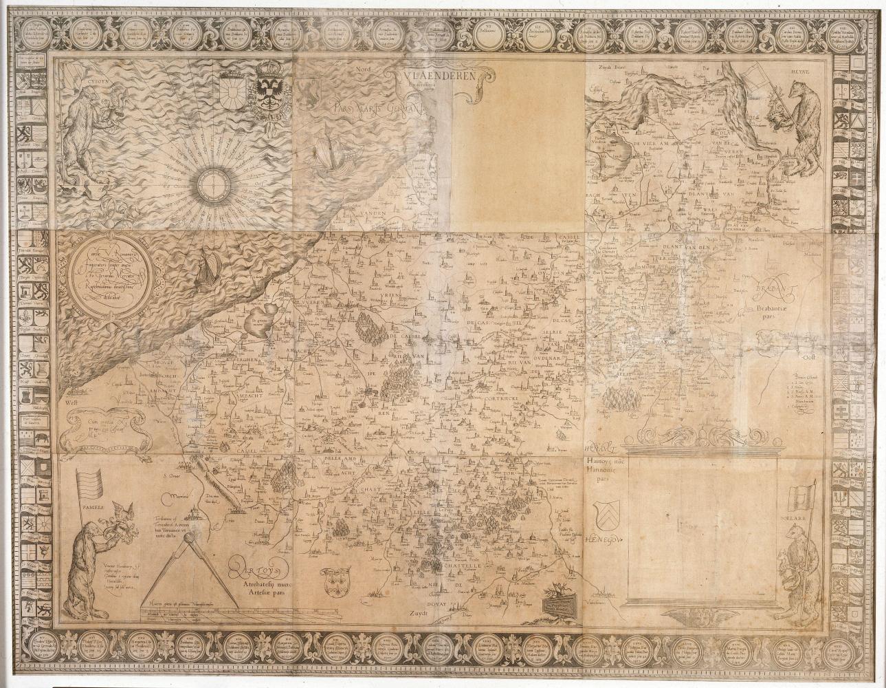
The geographer Gerard Mercator revolutionised cartography. This map is a surprisingly accurate representation of the county of Flanders in 1540.
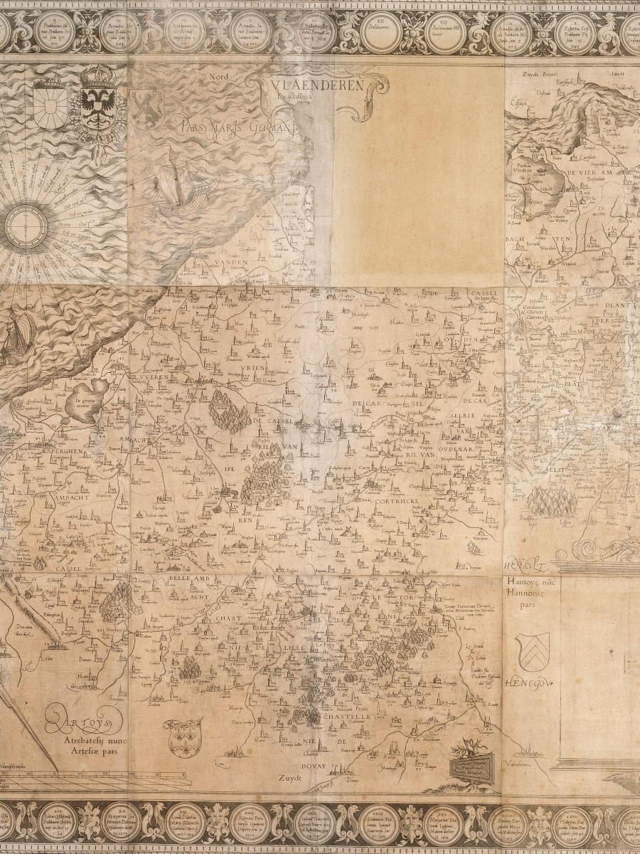
With his map Vlaenderen. Exactissima Flandriae descriptio, Gerard Mercator produced an exceptionally accurate representation of the County of Flanders around 1540. It is the first map of Flanders he made and depicts not only the county itself, but also parts of northern France and Zeeuws-Vlaanderen.
The wall map measures 96 by 125 cm and consists of nine copper engravings. It is a unique and unfinished example: this copy from the Museum Plantin-Moretus is the only one that has survived. The map is dedicated to the Spanish Emperor Charles V.
In the sixteenth century, Antwerp was the leading centre for the production of cartographic works. The printing house of Christophe Plantin played a key role in this development: from 1579 onwards, the presses here produced, among other things, the maps of Abraham Ortelius.
Mercator, born as Gerard De Cremer in Rupelmonde, Latinised his name to Mercator (“merchant”). After Ptolemy, he is regarded as one of the most important figures in the history of cartography. His world projection is still in use today.
The relationship between Mercator and Plantin was one of buyer and seller: Plantin sold Mercator’s maps, globes, and instruments, while Mercator purchased books from Plantin for his personal library. Mercator later published his major work, the Atlas, in Germany, where he had settled as a supporter of the Reformation.